
Explore our tools
Designed for planners, trusted by governments. Use them for free, or get in touch when you need something custom.
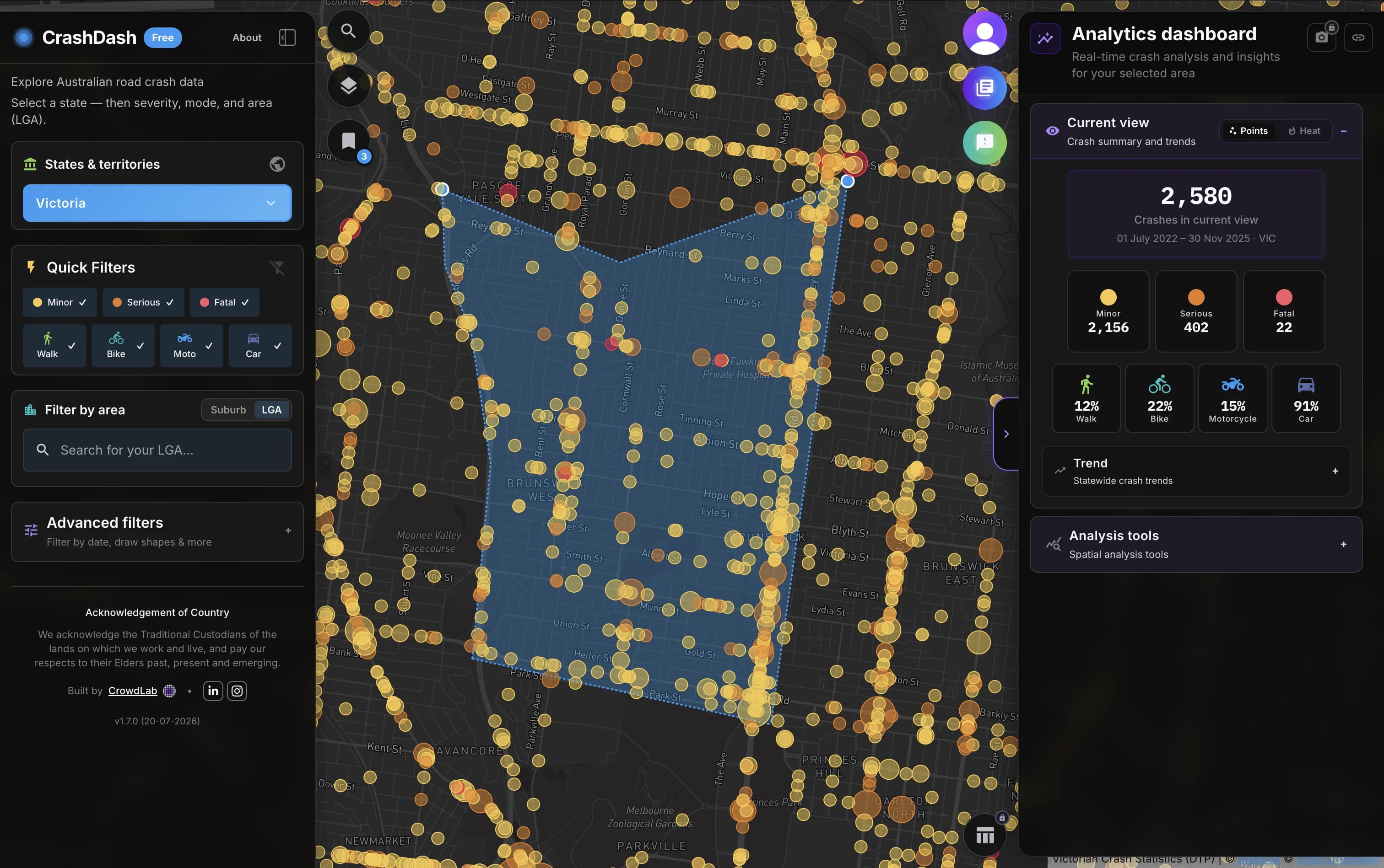
CrashDash
Explore Australian crash data with maps, filters, and analytics your road safety team can use without a specialist build.
Learn more →
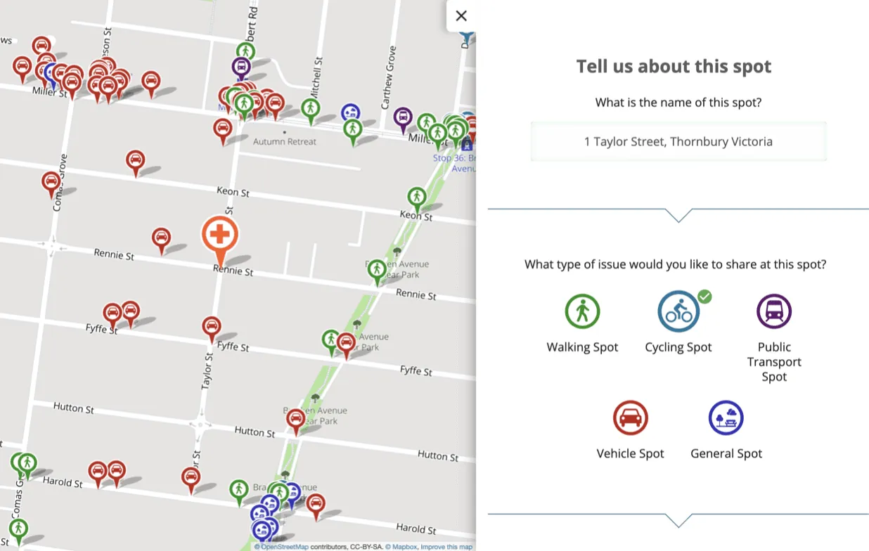
CrowdSpot
Map surveys that turn community input into spatial evidence for planning decisions.
Learn more →
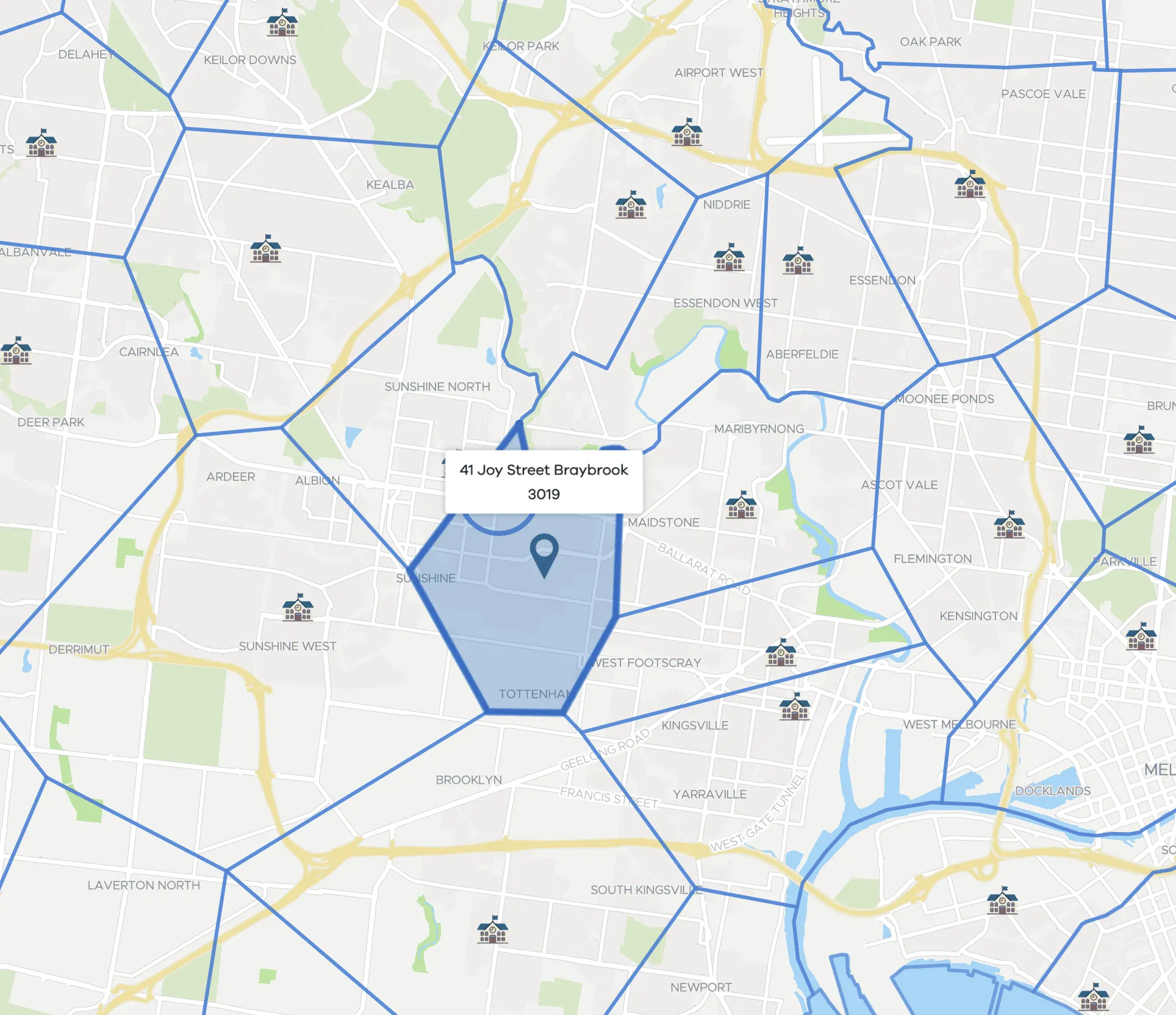
Find my School
Victorian school zones and catchments, used by DET and parents statewide.
Learn more →
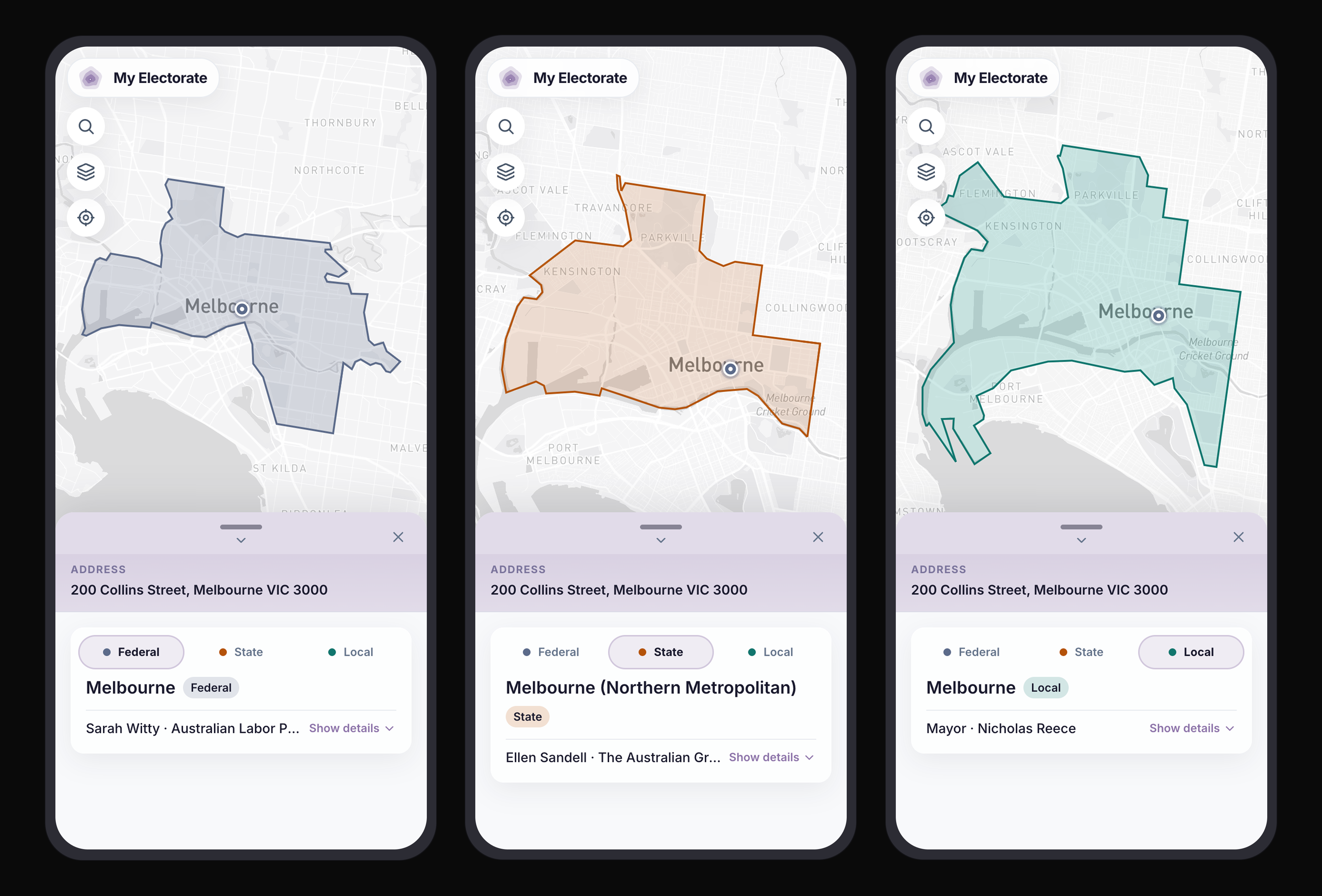
My Electorate
Look up any Australian address to see your federal, state, and local electorates on one map.
Learn more →
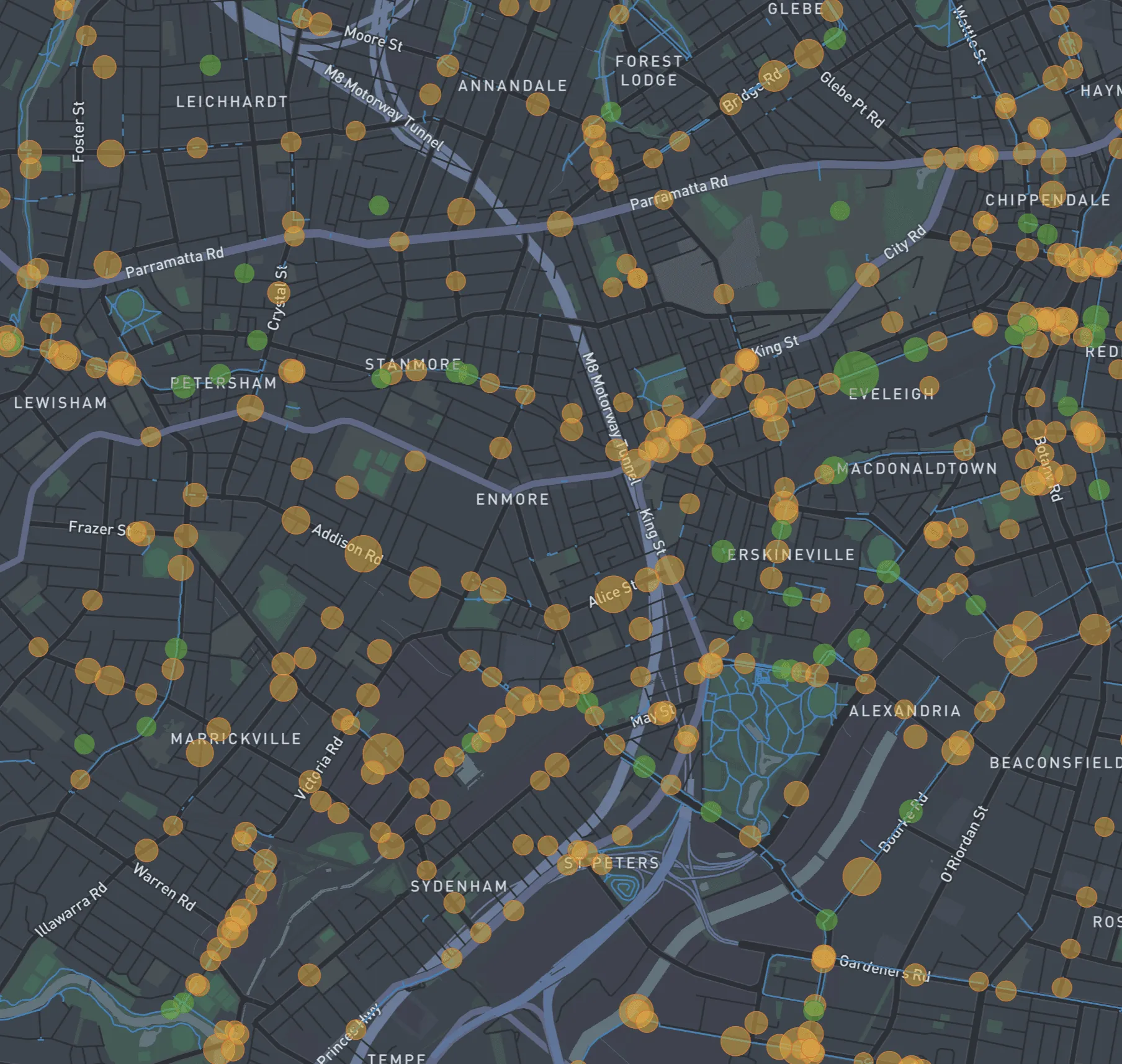
BikeSpot Archive Map
72,000+ contributions from cyclists across Australia, informing council infrastructure decisions and state policy.
Learn more →
Custom Solutions
Need something unique? We design tailored spatial tools to suit your project’s goals, data, and audience.
Get in touch →
Need something tailored to your brief?
Start a discovery chat