
Tools/CrashDash

CrashDash
National crash data, mapped and filterable for councils, advocates, and the public.
20+
Councils & agencies
All states
Crash data coverage
Free
Public access
What is it?
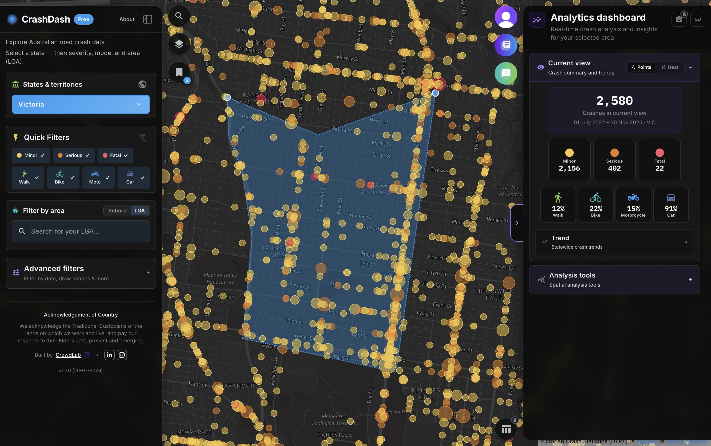
CrashDash turns Australian road crash data into maps, charts, and filters so road safety teams can explore risk without a custom GIS build. Pick a state, filter by severity, mode, date, and area, and share a clear picture of where crashes concentrate.
Who’s it for?
Councils, state agencies, advocates, researchers, and anyone who needs a clear picture of crash patterns across states and territories — without login barriers or specialist GIS skills for the public explorer.
How CrowdLab helps
We built and run CrashDash as a free public tool. If you need a tailored dashboard, private data, or council-specific reporting, we can scope a custom build on the same foundations.
Showcase & media
- Transport for Victoria Open Data showcase →
CrowdLab featured on the Victorian open data showcases page.