
BikeSpot
Read case study →Cycling safety evidence was scattered and hard for councils to act on.
A national map with 72,000+ public submissions that informed infrastructure and policy conversations.
About CrowdLab
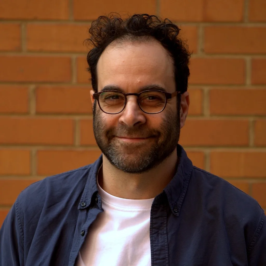
I'm Anthony Aisenberg, an urban planner and digital developer. Since founding CrowdSpot in 2012, I've built spatial tools used by councils, state agencies, and researchers across Australia.
CrowdLab is the studio behind that work: free tools you can use today, and scoped custom builds when you need something tailored, without hiring a full product team.
Most spatial tools are built by software teams who don't sit in planning meetings, or by consultants who hand over a PDF and leave.
CrowdLab sits in the middle: planning literacy, product delivery, and public tools as proof of craft. That means transparent platforms communities can trust, lower barriers to participation, and evidence people can open in the room where the choice is made — from a survey map for one corridor to a research tool that needs to ship before the grant window closes.
If you need spatial evidence people can use, not another system nobody opens, you're in the right place.
Strategy, grants, and engagement when you need spatial evidence without standing up a full product team.
Collect and show place-based data without commissioning a one-off research software build.
Public maps and dashboards that make the case with clear, shareable evidence.
A planner-builder studio when a spatial tool needs to ship in weeks, not a year.
A small, senior studio: focused briefs, live public products, and delivery that fits grant and election cycles.
Urban planning and product delivery in one seat. Briefs stay grounded in how councils actually decide.
CrowdSpot, CrashDash, Find my School, and My Electorate are live. Try them before you commission anything custom.
Discovery, co-design, and launch for scoped tools — typically 8–12 weeks, not a multi-month programme — with support after go-live when the work needs to keep evolving.
Real tools, real users. Each one started as a concrete problem for government or community.
Cycling safety evidence was scattered and hard for councils to act on.
A national map with 72,000+ public submissions that informed infrastructure and policy conversations.
Victorian families needed a clear way to check school zones and catchments.
An official mapping tool used by the Department of Education and tens of thousands of parents every year.
Crash data lived in hard-to-use formats across states and territories.
A free national dashboard so road safety teams can explore, visualise, and communicate risk quickly.
Federal, state, and local boundaries sit in different places, and most lookup tools stop at one level.
A free national map where any Australian address shows all three electorates, with federal MP details from OpenAustralia.
Commonwealth and state agencies, universities, NGOs, and dozens of councils across VIC, NSW, and WA. Large engagement projects, open data platforms, and focused consulting, without losing the human context that makes the work land.





Ready for a discovery chat?
Tell us what you're trying to decide. We'll say honestly whether a free tool or a custom build fits.
Start a discovery chat